Generation of soil and land resource reports and thematic maps is the final step involved in the soil survey activities using cartographic techniques. The soil & land resources reports and maps generated were provided to panchayats, krishibhavans, planning bodies and administrators etc to serve as ready reckoner for soil and land information. The Soil Informatics and Publication Cell of the Directorate is in charge of the publication of all reports and maps received from the district offices after thorough scrutiny so as to have uniformity and to maintain quality of the output.
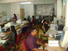
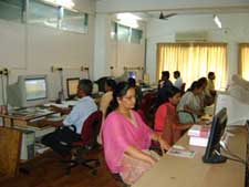
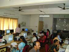
Traditionally printed reports and manually drawn maps were produced and published. Hard copies of same are retained for reference at the office. Traditional cartography was used for map preparation which is time consuming and difficult method of geographic representation. With the advent of modern technologies such as Geographic Information System, Geo Positioning System, Remote Sensing etc the stakeholders demanded digital format of soil and land resource database. The Department visualised the opportunities of utilising the modern technologies to widen the activities so that the voluminous data generated through surveying and mapping can be disseminated to the user end in a highly presentable form. An added advantage of the same is the data can be stored digitally, edited and retrieved at any time in the future. Realizing and exploring the possibility of Information technology in Soil Survey, a Geomatics Lab has been set up at the Headquartersduring January 2005 where in use of Geographical Information System started.
Geomatics lab
The Geomatics lab of the department is attached to the Directorate of Soil Survey & Soil Conservation.
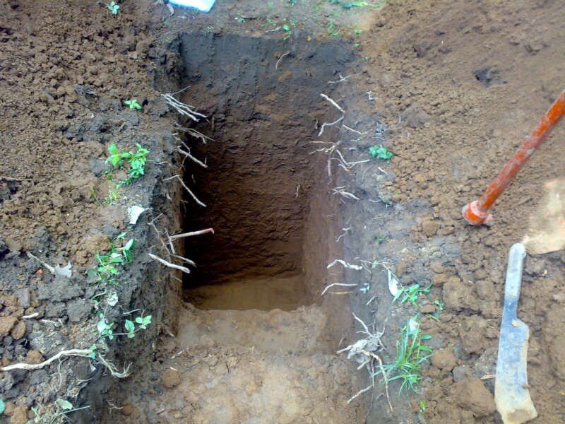
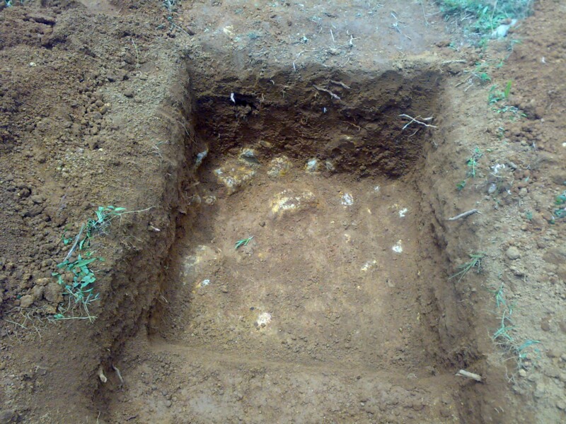
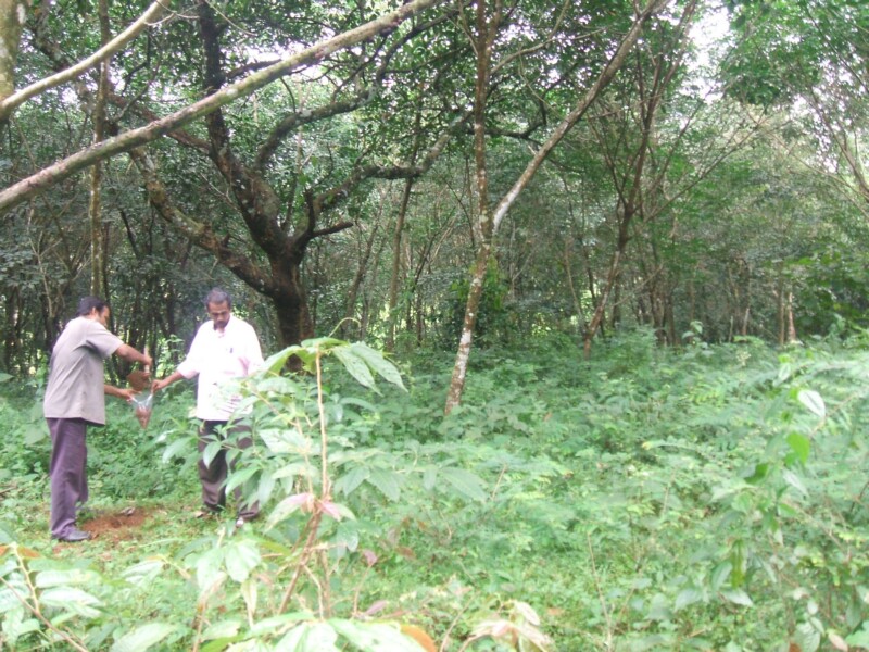
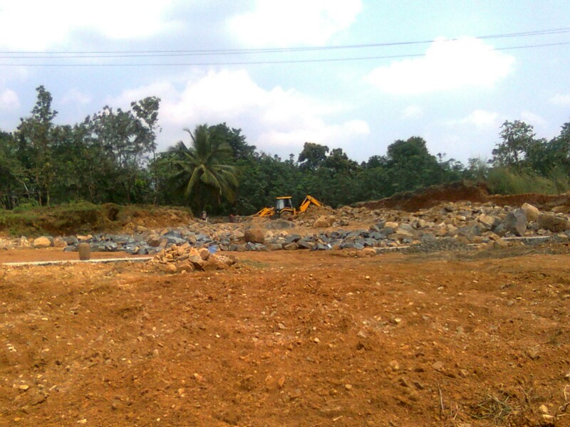
Soil survey is an established scientific tool in the world for generation of soil database. It allows generation of soil information through systematic examination of soils in the field by exposing soil profile for morphological characterization followed by detailed characterization of soil with analytical data for soil classification, delineation of soil boundary on base map through traversing, interpretation and generation of interpretative maps and reports. Soil conservation activities undertaken in each location needs to be geo tagged for spot identification and implementation of site specific activities.
The department makes use of latest technologies like Geographic Information System (GIS), Remote Sensing( RS) and Global Positioning System (GPS) to locate, delineate, classify soil information and updating the existing database and also for managing voluminous spatial data in a systematic manner. The field level data and analytical data is tagged with the location co-ordinates collected using GPS for its spatial representation. GPS is also used for mapping assets in a watershed, locating soil profile, land parcels and for collecting GCP (ground control points). The Organization has state of the art GIS lab in Thiruvananthapuram with latest hardware and software facilities. The department has a detailed soil database along with recent high resolution satellite images. These technologies are being used for watershed delineation, spatial analysis and thematic map generation for various reports.
MISSK
The need for a cadastral level soil resource database is a long felt need for effective implementation of all technologies and agricultural developmental programme at farm level. The micro level database at farm level only can help in identifying farm specific problems and potentials and to provide technologies and amelioration measures for increasing the agricultural production. Further the micro level database on soil and land resource will serve as an important decision making tool for agricultural planning and implementation of soil and crop related management technologies.
Keeping in view of the importance of the developing cadastral level information on the soil resources of the state at panchayat level, the Department of Soil Survey and Soil Conservation has developed Microlevel Information System on Soils of Kerala(MISSK).This is the output of Detailed Soil Survey conducted at panchayat level using cadastral maps of scale 1:5000/4000 as base map. The field Survey was carried out by trained and experienced technical Officers of Soil Survey under the supervision of the Senior Level Officers of Soil Survey in the Department .
The Microlevel Information System on Soils of Kerala(MISSK) is a web based project developed in GIS Platform by the Department of Soil Survey & Soil Conservation under the technical guidance of the ESRI India .
OBJECTIVES
Generation of soil information system consisting of the soil type, depth, slope ,erosion status, land capability class, land irrigability class, soil fertility status, soil conservation priority, etc at panchayat level along with the cadastral details.
1. Generation of soil and other thematic maps in GIS platform enabling easy retrieval and updation.
2. Developing Web Based Micro Level information system on Soils of Kerala so as to enable the users to access all information on soils on survey number basis through internet .
3. To help the farmers to manage their land by understanding its potentials and limitations.
4. Enabling the planners, administrators and researchers to formulate micro level plans by proper understanding of the status of the resource base of a region.
UTILITY
Digital database enable users to access, process and visualize various types of soil-related data easily. This will serve as a bridge between global and local soil mapping enabling comparison of soils not only at local and national level but also at global level .
- Study variation in the soil properties over a period of time (Temporal variation)
- Integration of soil characters with other geographical and resource features for research and developmental purposes
- Extract the soil details of the area of interest or study area alone from a large area.
- Spatial analysis of soil parameters and evolving soil management and land use plan of an area.
- Watershed based planning made easy through utilization of digital database.
METHODOLOGY
- Topoanalysis and Pre field Interpretation
- Field survey and mapping
- Field review and correlation
- Laboratory investigations
- Soil fertility investigations
- Digital data processing in GIS and generation of maps
- Preparation of soil map and report
- Developing Web Based MISSK
Deliverables
- Information on all aspects of soils on per plot/survey number basis to the stakeholders
- The Geospatial Soil and Land information Layers provided include
- Soil Series
- Soil texture
- Soil Depth
- Erosion status
- Slope
- Present land use
- Paddy land conversion status
- Soil fertility aspects consisting of
- Soil pH,
- Status of major nutrients nitrogen,phosphorus,potassium
- secondary nutrients- calcium, magnesium, sulphur
- micronutrients- iron copper,zinc, manganese, boron
- Land capability class
- Land irrigability class
- Soil conservation priority
- Crop suitability
Disclaimer
Though all efforts have been made to ensure the accuracy and correctness of the content on this Portal, the same should not be construed as a statement of law or used for any legal purposes. In no event will the Department of Soil Survey and Soil Conservation be liable for any expense, loss or damage including, without limitation, indirect or consequential loss or damage, or any expense, loss or damage whatsoever arising from use, or loss of use, of data, arising out of or in connection with the use of this Portal. Strict quality control measures were applied in developing the soil resource databases but the Department does not warrant that the data is error free. Mapped materials do not imply the expression of any opinion whatsoever on the part of department concerning the legal status of any country, territory, city or area, or concerning the delimitation of frontiers or boundaries. You are welcome to use the shared databases but you should be aware that the assessment of the accuracy and applicability of each dataset is strictly a USER RESPONSIBILITY; The Department takes no responsibility for problems that may arise from use of the databases. Reproduction or use of materials for resale or other commercial purposes is prohibited without prior written permission of the Department.
Applications for such permission should be addressed to:
Director Department of Soil Survey & Soil Conservation
Centre Plaza Buildings, Vazhuthacaud,
Thiruvananthapuram Kerala - 695014
e-mail:soildirector@gmail.com
Outreach Programme
Outreach Programme on Basics of Remote Sensing, Geographic Information Systems and Global Navigational Satellite Systems
The Department of Soil Survey & Soil Conservation in association with the Indian Institute of Remote Sensing, Dehradun and Indian Space Research Organisation, Department of Space, Government of India has been identifiedas an outreach study centreon the use of geospatial technology, free of cost. The Department had conducted seven courses so faron Basics of Remote Sensing, Geographic Information System & Global Positioning System” and "Advances in GIS”.
Two courses are conducted annually. Graduates/Post Graduates/Final year graduate students, Faculty/Researchers of University are eligible for the course. The study centre is Soil Survey & Soil Conservation Department, Kerala situated at Centre Plaza Building, 4th Floor, Vazhuthacaud, Thiruvananthapuram.
COURSES CONDUCTED BY THE STUDY CENTRE DIRECTORATE OF SOIL SURVEY & SOIL CONSERVATION, KERALA, UNDER EDUSAT IIRS OUTREACH PROGRAMME
|
Sl.No. |
Name of the Course |
Year |
|
1 |
10th IIRS Outreach Programme GeoWeb Services - Technology and Applications (11 Feb 2013 to 15th March 2013 ) |
2012 - 13 |
|
2. |
11th IIRS Outreach Programme “Basics of RS,GIS& GNSS” (5th Aug 2013 to November 2013) |
2013-14 |
|
3. |
12th IIRS Outreach Programme on "Microwave RS for Natural Resources" (3rd Feb 2014 to 29th March 2014) |
2013-14 |
|
4. |
13th IIRS Outreach Programme on “Basics of RS,GIS& GNSS” (4th Aug 2014 to 14th November 2014) |
2014-15 |
|
5 |
14th IIRS Outreach Programme on "Applications of RS & GIS for Natural Resources" (Jan 27 - Mar 27, 2015) |
2014-15 |
|
6 |
15th IIRS Outreach Programme “Basics of RS, GIS & GNSS” (10th Aug 2015 to 27th November 2015) |
2015-16 |
|
7 |
16th IIRS Outreach Programme “Geospatial Technologies for Urban Planning” (11th Feb 2016 to 15th March 2016) |
2015-16 |
 Equitable and sustainable management of natural resources not only provides for a sound strategy to remove rural poverty and enhance rural livelihood, but is also imperative for national security. The alarming rate of depletion of natural resources is the single most challenging factor that has drawn the attention of farmers, technicians, scientists, planners, administrators and policy makers. The constant compulsion for increasing agricultural production to meet the food needs of the increasing population has adversely affected the carrying capacity of the soils thereby aggravating soil degradation. As 60% of our agriculture is rainfed, mainly concentrated in hilly and mountainous regions, where public investment is negligible, widespread resource degradation, low productivity and mass poverty is concentrated in rainfed areas. A sound resource management strategy is fundamental to ensure sustainability of agricultural production. Soil, as a resource is the key determinant that has to be managed in a scientific manner in order to keep it sustainable. Soil information is vital for proper diagnosis of soil, optimal use of soil resources, adopting land use as per land capability potential and maintenance of soil health. It is imperative to generate soil information with spatial distribution to cater the demand of various stakeholders dealing with soil related activities in the implementation for various developmental programmes in the state.
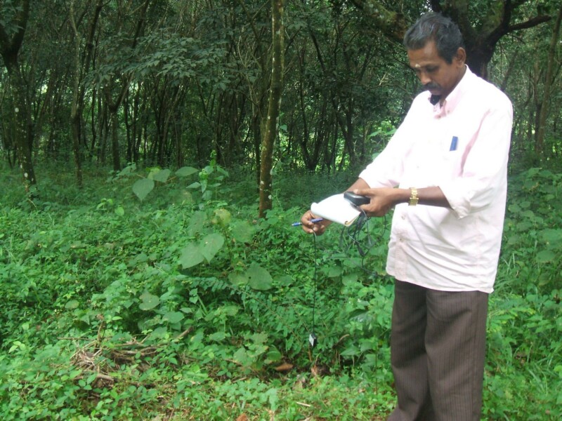 Reconnaissance soil surveys are carried out to prepare resource inventory of large area such as a district, state region, etc. This provides information needed for broad land use planning, agricultural development and for detailed soil survey.